
Pourvoirie Némiscachingue
About
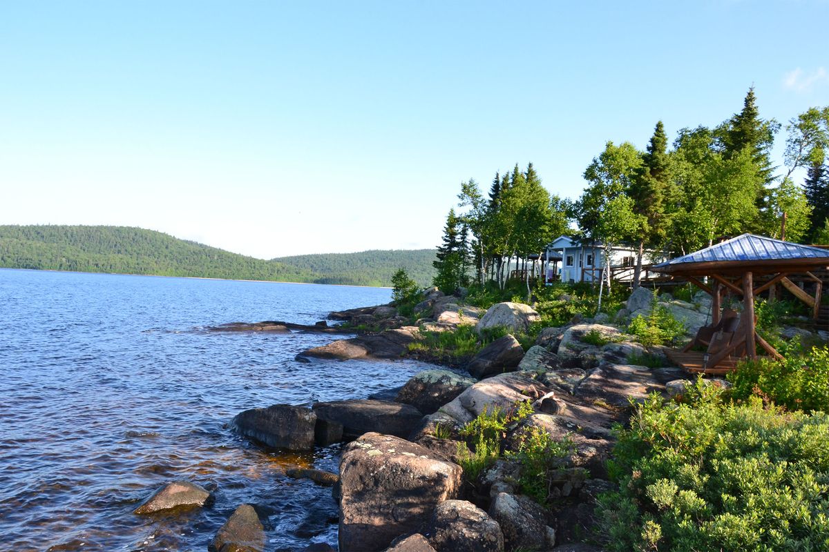
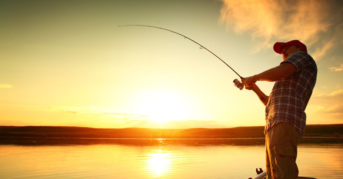
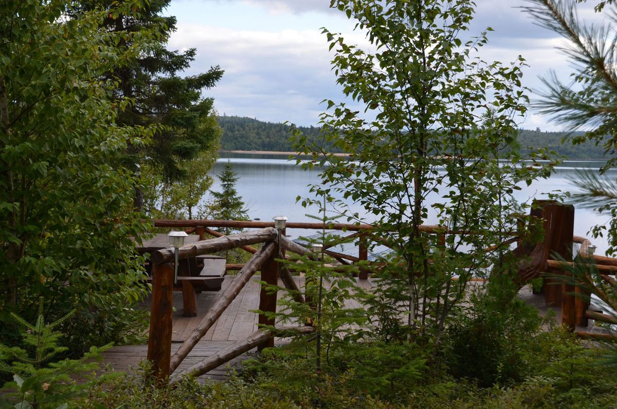
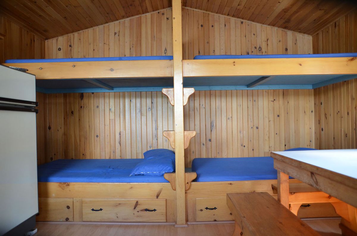
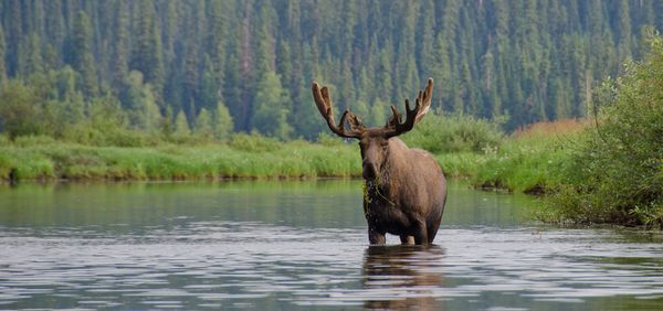
Perched on Île Mantonokocik, right in the middle of Lac Némiscachingue in the Hautes-Laurentides, Pourvoirie Némis feels like a small paradise: 35 km² of open water, a lake 26 km long, and wild sand beaches where you have the place to yourself. The fishing is for walleye, northern pike, lake trout and brook trout. The territory, virtually never hunted before, also opens onto moose hunting and bear hunting — a bear hunt run from the boat, with stands never more than 30 metres from the shore: fewer mosquitoes, and a view over the lake and over your bait at the same time. Lodging is in equipped cabins spread across the island, sheltered from the flies by the wind off the water, and an outpost cabin is available for those who want to push the quiet even further. You reach the outfitter by gravel forest road, then by boat from the Lac Toulouse landing.
Packages
Prices are set by the outfitter and can change without notice. Confirm rates and availability with them before you book.
Location & access
54 chemin Poissant Lac-Bazinet (46.3686, -73.7347)
Access : By road · By boat
Road access then boat: the outfitter occupies Île Mantonokocik, in the middle of Lac Némiscachingue, and is reached from the Lac Toulouse landing. The final stretch is roughly 150 km (close to 3 h) of gravel road, running from Mont-Saint-Michel toward Parent. Route as published by the operator: about 15 km past Lac-Saguay, at the flashing light, turn right onto Route 311 North toward Chute-Saint-Philippe, then continue through Lac-Saint-Paul to Mont-Saint-Michel (last possible gas station). At Mont-Saint-Michel, at the Route 309 stop sign, turn right, cross the village, then take the road signed 'Parent'. On the Parent road: km 7, registration post; km 82, at the stop, continue straight; about 3 to 4 km further, at the next stop, continue straight; then drive 26 km straight ahead following the signs for the 100 Lacs; about 3 to 4 km past the 100 Lacs, keep right at the fork; follow the 'Lac Toulouse' signs; continue about 16 km on a narrowing road; at the 'Petit Toulouse' sign, continue straight; take the next fork left to reach the landing. The operator recommends following his own directions rather than Google Maps. GPS coordinates of the outfitter: North 47 28 07 / West 74 27 53; the Contact page also gives these coordinates for arrival by plane or helicopter.
Reviews
No reviews yet.
Data refreshed on August 28, 2026 · Québec tourism registry — no. 850033
Similar outfitters
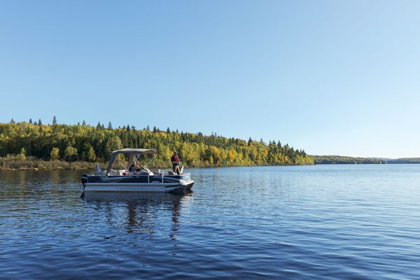
Pourvoirie Fer à Cheval
4.7(157)Laurentides · Lac-De La Bidière
Huntingfrom $225 per person
Fishingfrom $165 per person
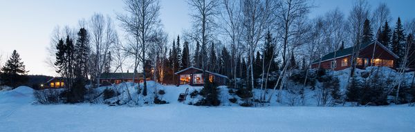
Pourvoirie des 100 Lacs Sud
4.6(58)Laurentides · Lac-Bazinet
Huntingfrom $125 per pers. / night
Fishingfrom $150 per pers. / night
Lodgingfrom $1,399 per package
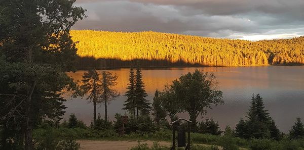
Pourvoirie Rudy
4.6(16)Laurentides · Lac-Bazinet
Huntingfrom $135 per pers. / night
Fishingfrom $135 per pers. / night
Lodgingfrom $990 per family
Pourvoirie Mitchinamécus
4.3(12)Laurentides · Lac-Bazinet
Huntingfrom $150 per pers. / night
Fishingfrom $130 per pers. / night
Ice fishingfrom $150 per pers. / night
Lodgingfrom $80 per pers. / night